
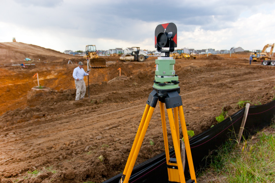
The key mandate of the Department of Surveying and Geoinformatics is to produce internationally recognised graduates for the advancement of professionalism, research, development, and innovation in support of various applications such as atmospheric studies, satellite geodesy, vehicle and missile navigation, logistics and transport, manufacturing and production management, medical practice, fighting crime, demographic studies, and archaeological studies, etc.
In order to fulfil this mandate, our Surveying and Geoinformatics programmes have a large range of units that focus on field and practical exercises, turning theory into practice to ensure students graduate with job-ready skills across a range of technologies, platforms, and environments.
The department is equipped with modern curricula, qualified staff members and modern instruments to facilitate the learning programmes. The department is fully accredited by the National Universities Commission (NUC) and the Surveyors Council of Nigeria (SURCON).
The department, as established in the late 1988, was known as “Department of Land Surveying and Photogrammetry”. The BTech programme in Land Surveying and Photogrammetry started in the Department of Civil Engineering in School of Engineering and Engineering Technology, but was relocated to the School of Environmental Technology as a department in 1990. The pioneer Head of Department was late Surveyor O. O. Odetunde, who was in charge from 1990 to 1994.
The first set of undergraduate students were admitted in 1990, and so far, the department has graduated about two thousand students with BTech in Surveying and Geoinformatics. Currently, over 700 students are enrolled in the undergraduate BTech programme in the department. The postgraduate programmes (PGD, MTech and PhD) in Surveying and Geoinformatics commenced in 2008. The department has so far graduated 22 students (PGD: 3; MTech: 17 and PhD: 2). Currently, about 48 students are enrolled in postgraduate programmes in the department.
The current staff strength of the department consists of – Professor: 3, Senior Lecturer: 2, Lecturer 1: 7, Lecturer II: 1, Assistant Lecturer: 2, and Graduate Assistant: 3.
Vision
The vision of the department is to equip students with sound training in theory and practice of surveying profession and provide interdisciplinary background knowledge in the fields of engineering and environmental technology.
Mission
The mission of the department is to produce graduates of Surveying and Geo-informatics with the knowledge that would help them play a leading role in the socio-economic and physical development of the Country.
Dr. Etim Eyo, a Senior Lecturer, is currently the Head of Department of Surveying and Geoinformatics. He received the BSc degree in Land Surveying from Ahmadu Bello University, Zaria, Nigeria, in 1994; the MSc degree in Surveying and Geoinformatics from the University of Lagos, Nigeria, in 2002; and the PhD degree in Geomatic Engineering from Universiti Teknologi Malaysia (UTM), Malaysia, in 2020. He is a Registered Surveyor by the Surveyors Council of Nigeria (SURCON). His areas of research interest are Engineering Geodesy and Geodynamics. Dr. Eyo is happily married with three children, and his hobbies include travelling, writing and watching football.
Selected Recent Scopus-Indexed Journal Publications by Staff Members of the Department